June 7, 2019 – It took me four hours from getting up to getting on the water this morning. I’m beginning to appreciate how much easier it is logistically when there is more than one person doing this kind of thing. One person can be striking the tent while the other makes tea and starts breakfast. It takes two people far less time to carry kayaks 30 yards to and from the water and so on. The downside is that then it goes from being “my” experience to “our” experience. It may get easier and faster. I am already pretty quick in loading and unloading and getting each thing stowed into its space, leaving no empty spaces inside the hatches. It’s the time to set up, take down, cook, clean, move the boat, move the gear that takes so long. Plus, to be honest, I’m not hustling. There may be days where I need to be on the water early, like tomorrow, and on those I will simply get up earlier and maybe hustle a little.
I think I’ve hit the point where the current is more influenced by Dixon Entrance than whatever feeds Revillagigedo Channel. I really had to slog the last five of the 13 miles I paddled today. It was like someone flipped a switch. I’m going to test this by leaving early in the morning and seeing what kind of help I have or don’t have. There are no current charts for this area and, even if there were, I haven’t experienced a high level of accuracy in NOAA’s current charts for the lower Columbia. If they did make them for this area they might be more accurate since there are no dams here to change the natural flow.
Throwing a stick in the water hasn’t worked here as succinctly as it does on the river. There are so many intertwining channels and inlets and wind going in all directions that the only thing I can count on is the tide tables, which I have for Ketchikan and Prince Rupert. For everything in between, I had to go to this cool page on NOAA’s website that shows the different stations in between the two places. Then I could go to the page for the station, look at what it had for tides, compare it to either Ketchikan or Prince Rupert, write the difference down on my own chart, and take it with me. Unlike the Columbia where the farther away you get from the ocean, the more difference there is, most of the stations here are only minutes apart.
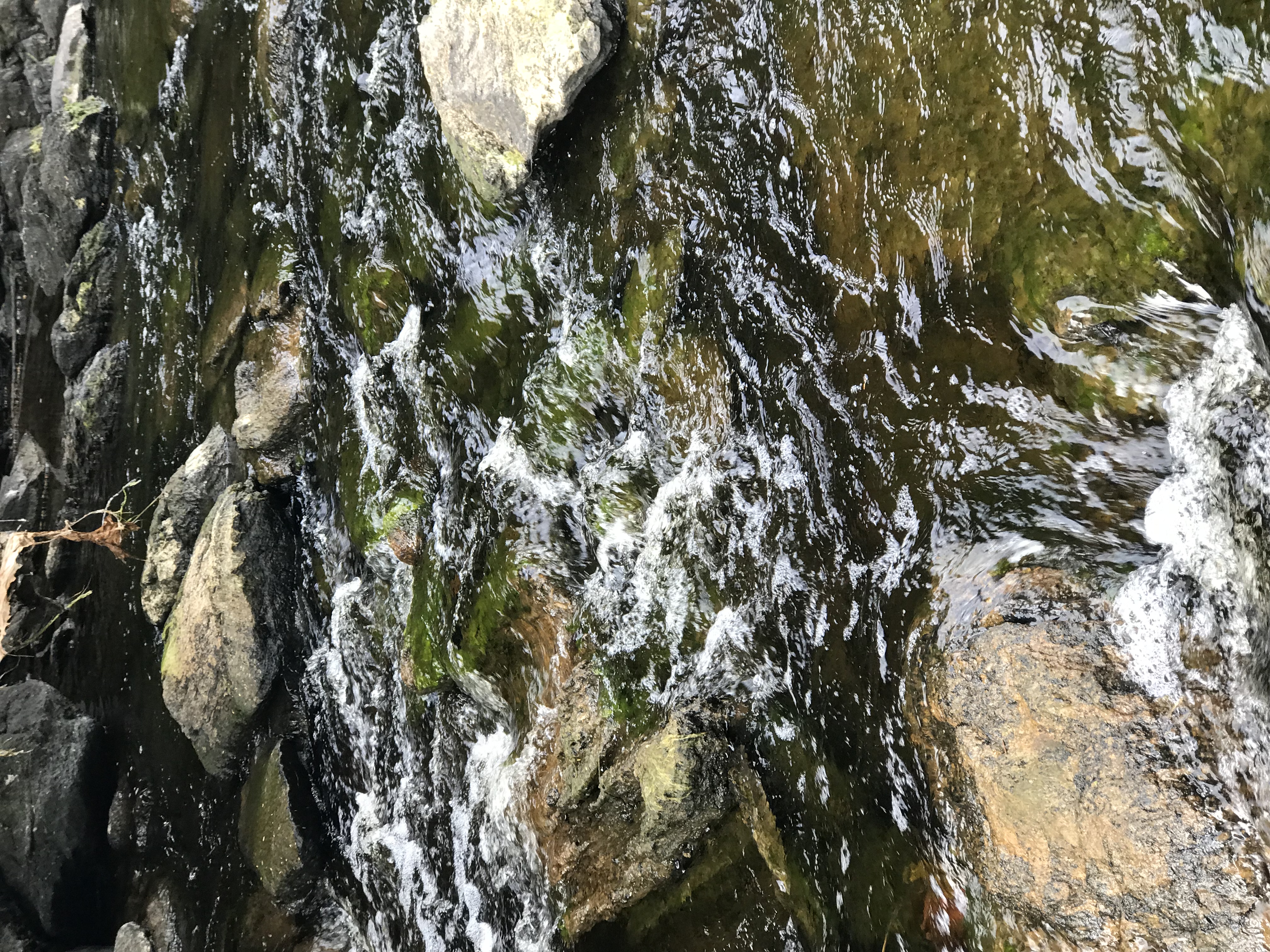
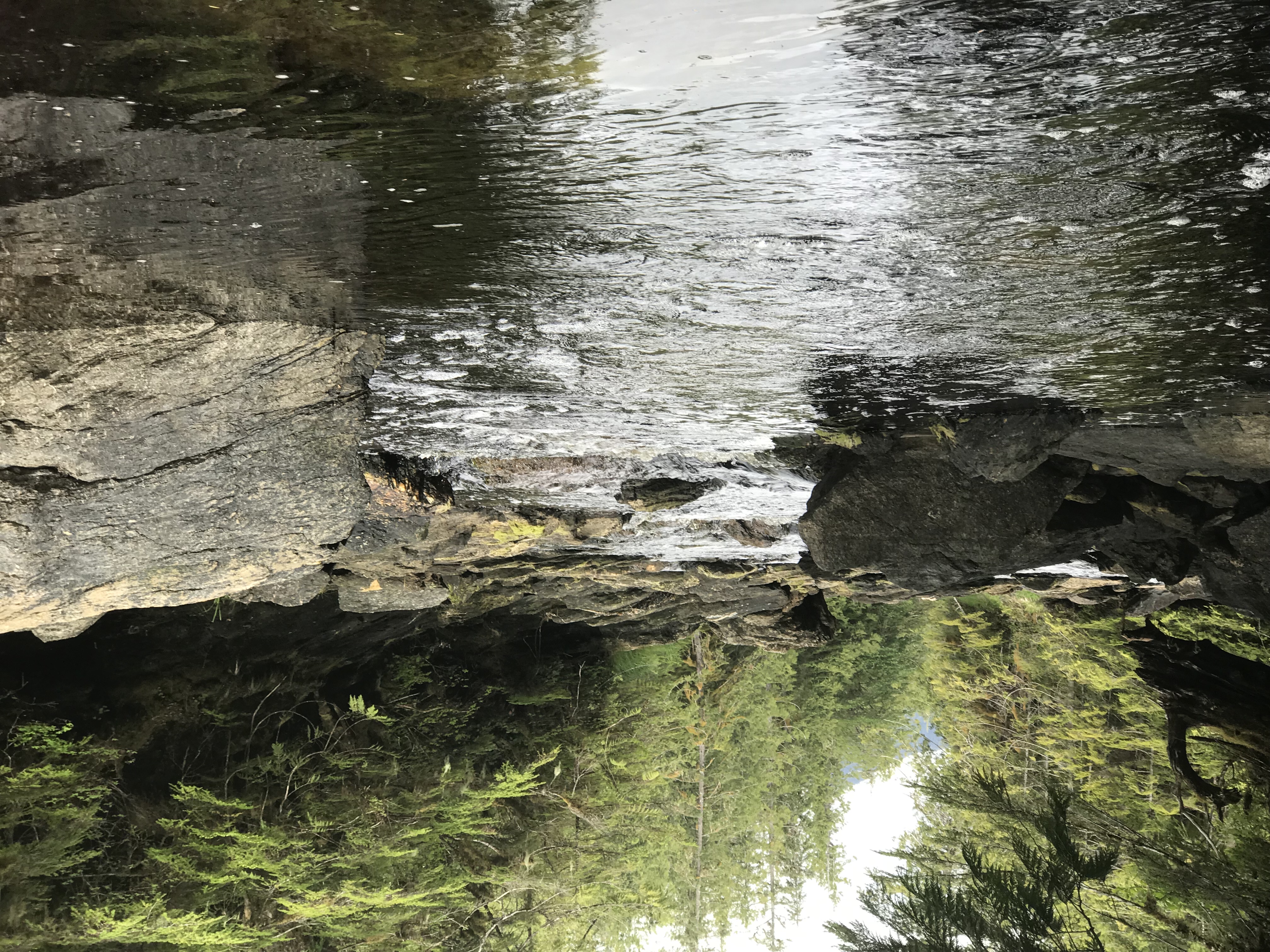
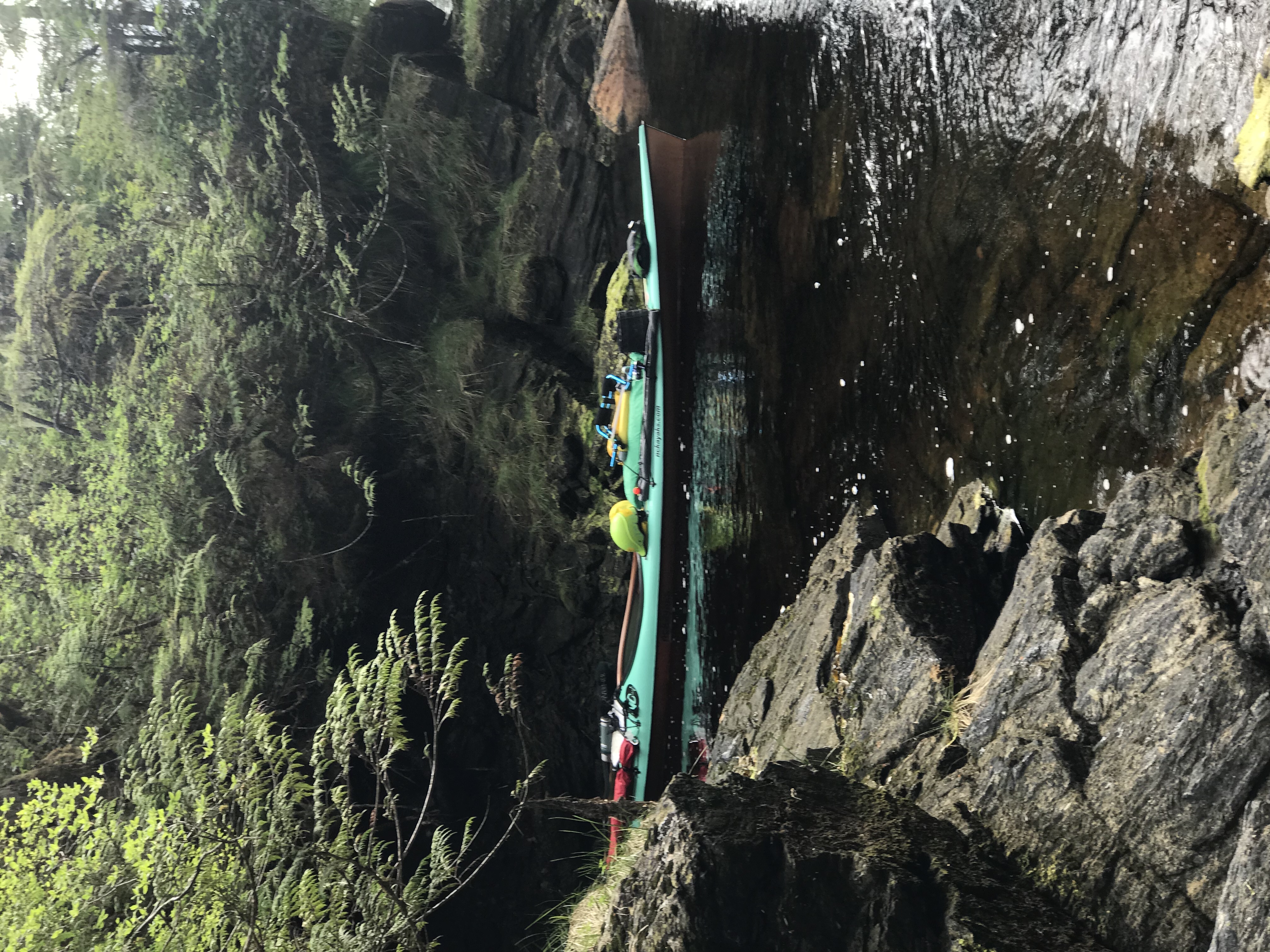
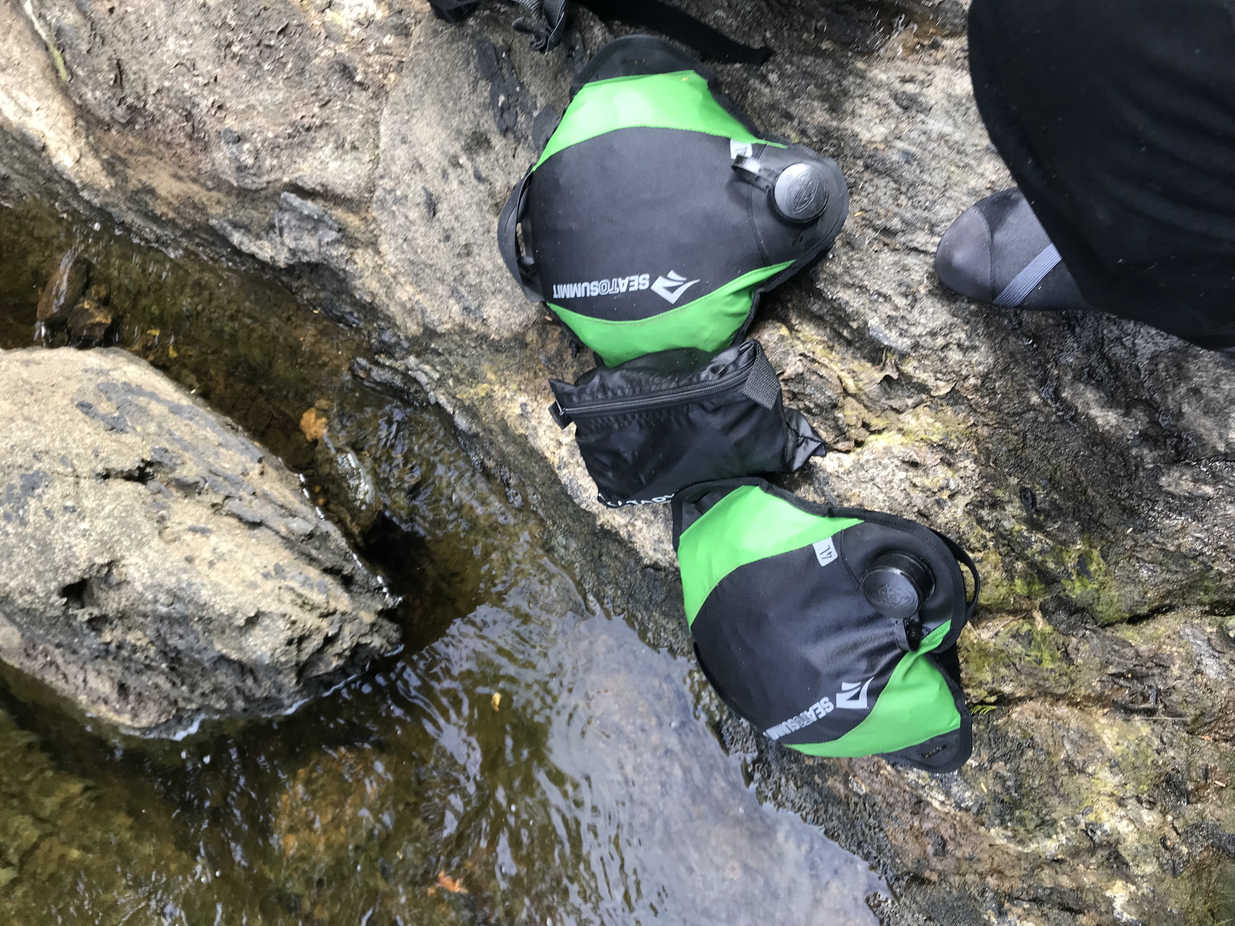
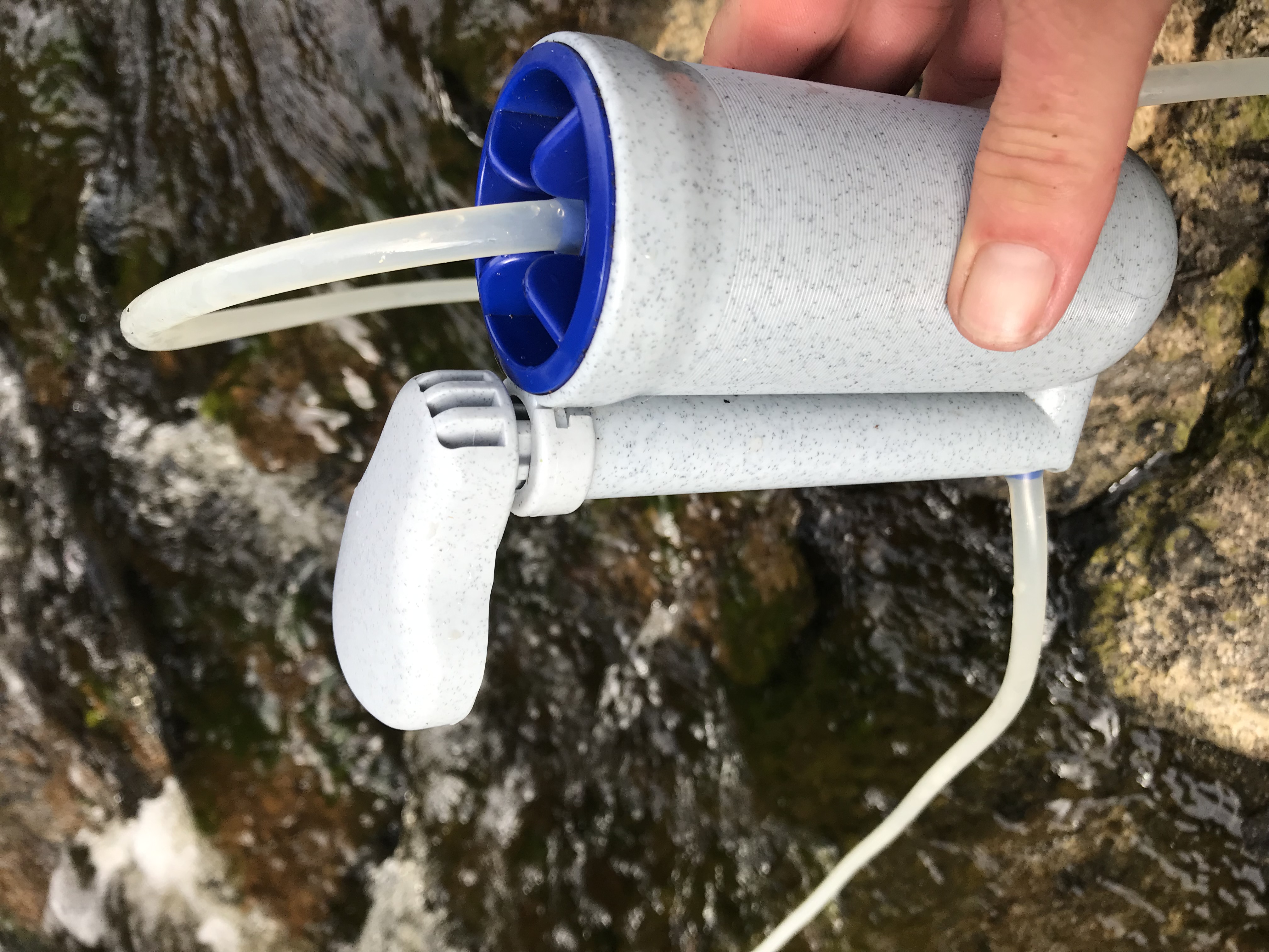
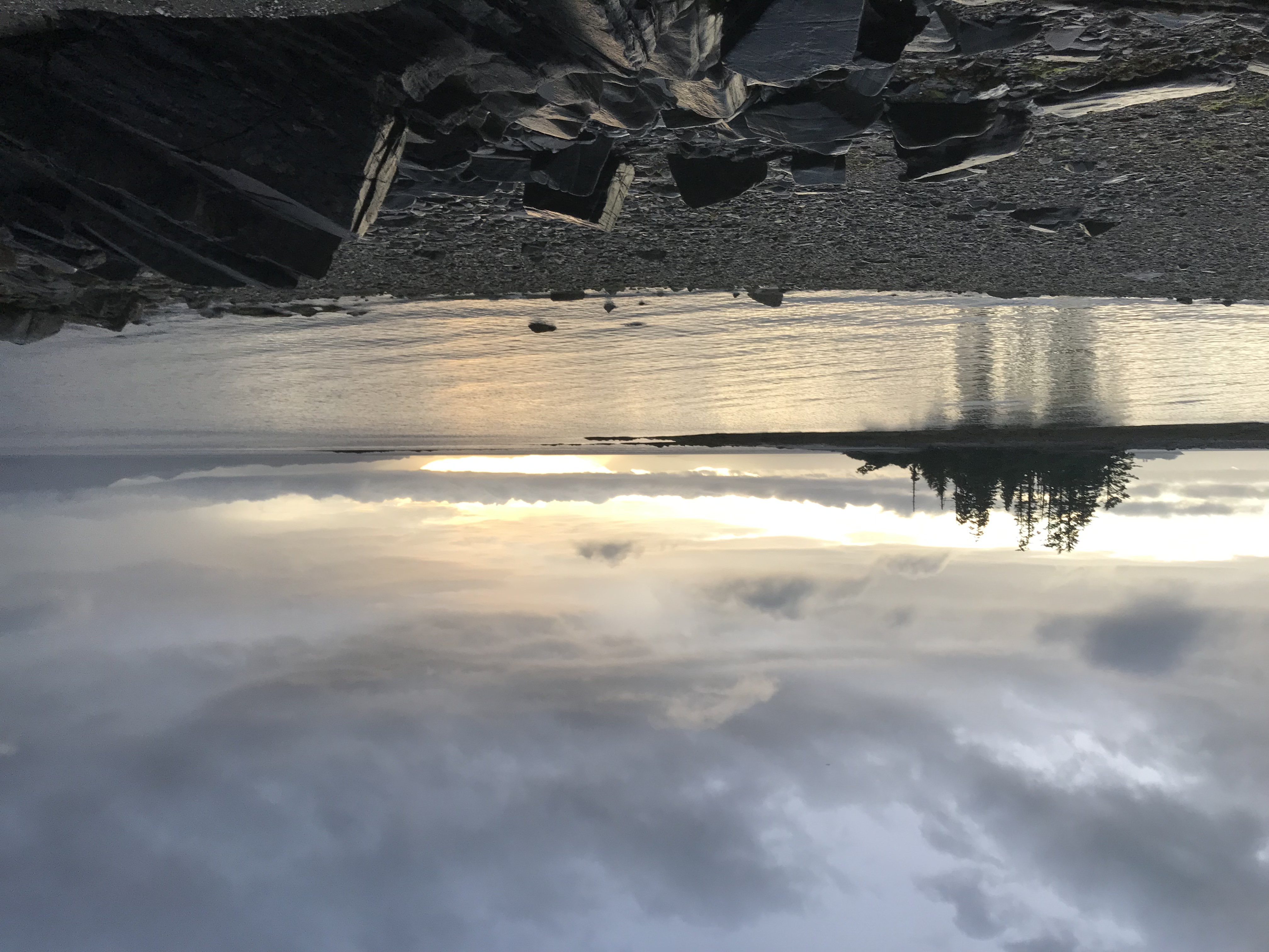
I am currently camping in Kah Shakes Cove on the SE Alaska mainland. It is beautiful. At the end of the cove is a nice looking river. I filled two of my water bladders from that river today. I actually thought I was farther south than I am. When I stopped at a little island across from Kah Shakes Cove, I thought I was near Foggy Bay. Glad to have the InReach Explorer to set me straight. There are many pieces of gear I am pleased to have brought on the trip and it certainly is included in that list. Last year I marked the chart to camp here. I am glad I get to this year.
This is day 5. At this time last year I had to turn around. I really didn’t want to. I wanted to keep going. This time I get to keep going. Half-way to Prince Rupert. Tomorrow I hope to get close enough to the north end of Dixon Entrance to make a solid plan for making that first open crossing. I may not make it that far tomorrow, but certainly by Sunday if the weather holds out.
Leave a Reply