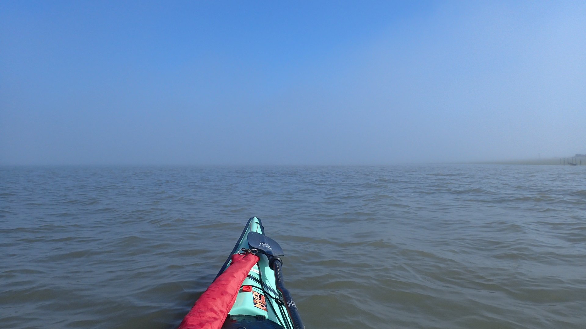
July 29, 2019 – My first paddle day on the Strait of San Juan de Fuca (SSJF for short). The tide was a long flood starting at around 8 am and ending after 4 pm. The obvious choice was to paddle west to east. The boys dropped me off at the county boat launch located in between the two parts of the Dungeness Spit and I launched at 10:30. My first truly foggy paddle! I was excited to use all of my senses and charts and compass (and, last resort, GPS) to find my way in the fog.
I launched and followed the shore I could see which was lined with great blue herons and glaucus winged gulls. From the kayak in the fog the herons looked humongous. I thought one was a man on shore looking for oysters or clams, only to lift my binoculars to my eyes and see that it was a heron. I also saw that the left side of my binoculars had moisture in it and was unusable. I’ve only had these binoculars for less than two years. Granted I have used them every day for the past two months, but…
Wow, the past two months. I’ve been at this for two months. I am two thirds along the journey. There is both a sadness about knowing it will end, as well as a comfort in knowing I’ll be home in a month. After all, the SSJF is the last part of the Inside Passage for me. There are charts/maps I’ve come across that list part of the area of Puget Sound south of here as part of the Inside Passage but, for me, this is the final stretch.
Back to Dungeness Spit… The herons and gulls misled me. After about half an hour I saw the spit going on and on and on to my left and realized I’d missed the small gap between the spit coming north off the beach and the part that comes back down from the western spit. The fog had cleared enough for me to see farther and I spotted a fishing boat coming off the shore and disappearing around the corner to my left. Aha! I worked my way over to where I saw the boat go. It was shallow as all get out, but I followed it around. As I did, I saw more motor boats come around and went off to the side to stay out of their way even though there weren’t many of them and they were all going slow.
Paddling in the shallows I noticed the pattern in the water of the eastbound tide coming in, hitting land and curling back in along the shore. I had seen this in the current charts I looked at last night and now I saw it in reality. The current wasn’t very strong, and it slowed me down enough to get a good look at the adult and baby harbor seals in the bay. Oh so cute!
Once I got through the shallow area, it was time to cross Sequim Bay. I could see the “under construction” launch of the campground we were at this morning. The workers started at 6:30 this morning. They were in full swing with the backhoe and jackhammers by 7 am. Not my favorite morning sounds. Uncle Sidney’s friends who live in Sequim, Kris and Ken, invited us to stay at their place for a few nights. After the early morning construction I was more than ready to stay elsewhere for the night.
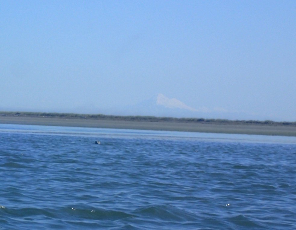
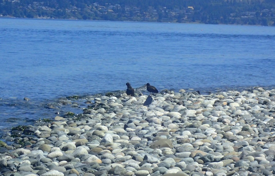
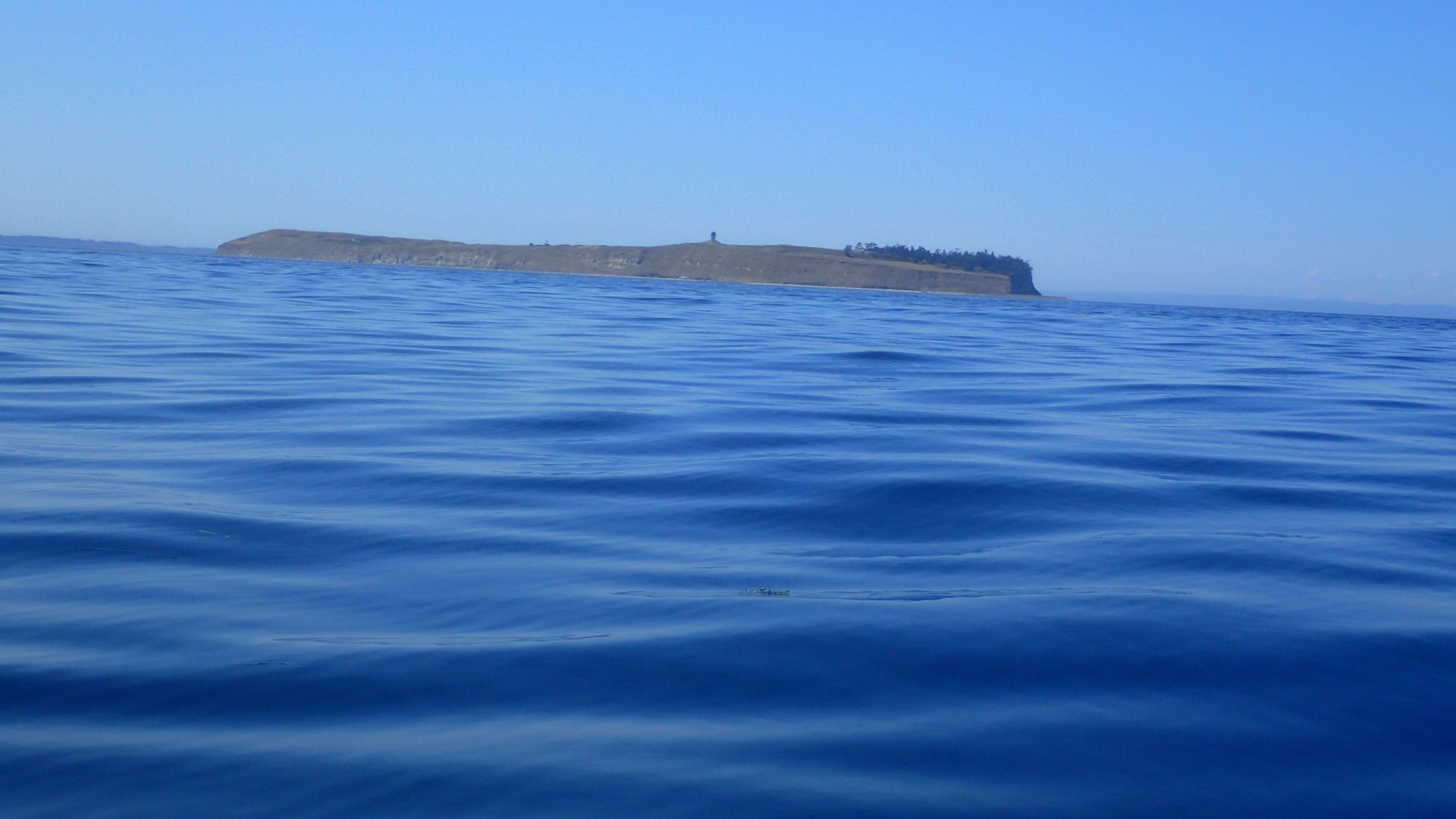
Next it was the S’klallam Peninsula, with many Heermann’s Gulls and Caspian Terns, plus a couple of not shy American Oystercatchers on the beach where I landed for a lunch, and navigation check break. It looked like a three-mile crossing from there to Cape George on the Pt. Townsend peninsula. The water was still relatively calm, the current was still in my favor, the sun was shining and I was having a splendid paddle. So on I went.
The crossing took what felt like no time. I checked the GPS and it was doing about five knots, sweet! Once I got across I could see the east flowing current hitting the shore and moving both south and north and causing a reflective current with some confused waters which, combined with incoming wakes from way far off, made for some fun and easy clipotis. Yes, my fear was gone and I actually played with the waters. My my how things have changed…
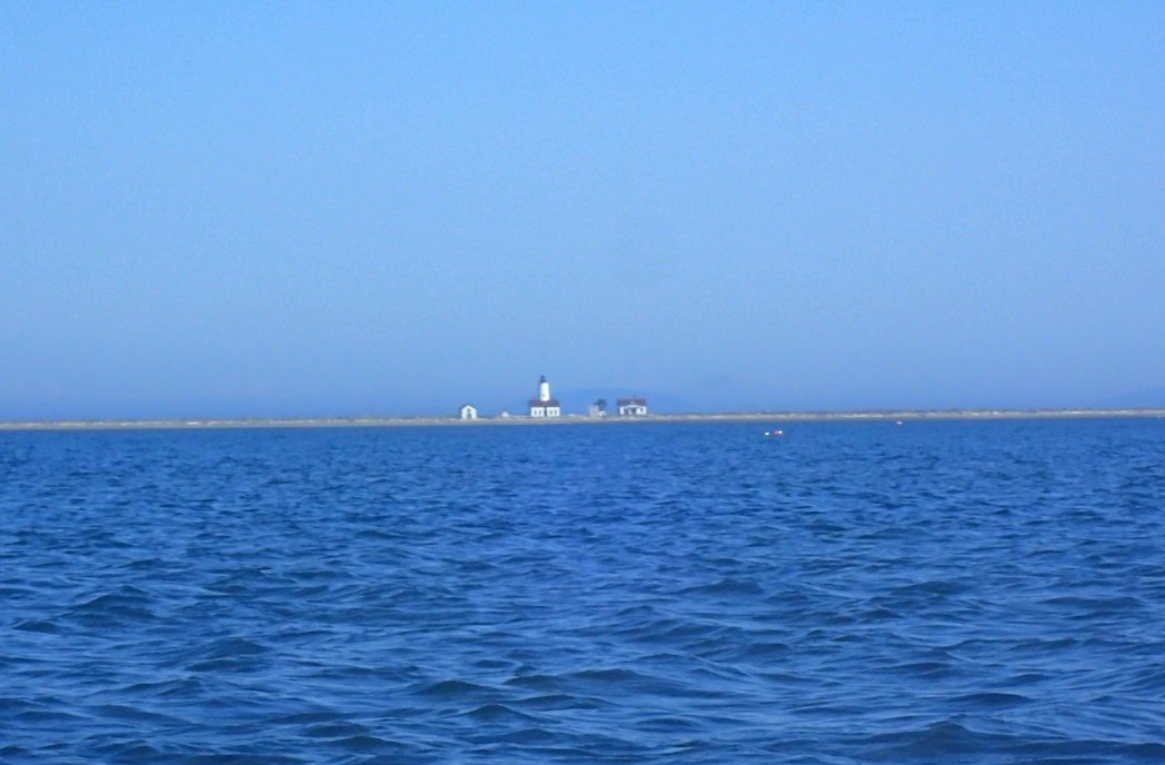
From there it was another six miles around to Point Wilson and the lighthouse which, when it appeared, made me gasp with excitement. I wasn’t as worn out as I might have been after a 22-mile paddle, but I was glad I had made it to the point. This paddle was a first for me doing broader crossings, as opposed to sticking closer to the shoreline and crossing at the shortest points. It was so calm, with so little boat traffic, that I felt much more confident being a much longer swim from shore and being more exposed in both open crossings.
My wonderful uncle and trusty hound were waiting for me just past the point. We had only one load to lug to the car and we were on our way back to Sequim. On the way I contacted Nikon about my binoculars. I will have to send them in for repairs and will not have them for awhile. I’m torn about paddling without them but, in the end, will be happy to see what I see with my eyes for a time.
One note about doing the SSJF in reverse – I’m dyslexic so ultimately I’ll remember it east to west anyway, eh? All I know is today was perfect and I look forward to the remaining paddles along these shores that are preparing me more and more for the open sea.


Leave a Reply